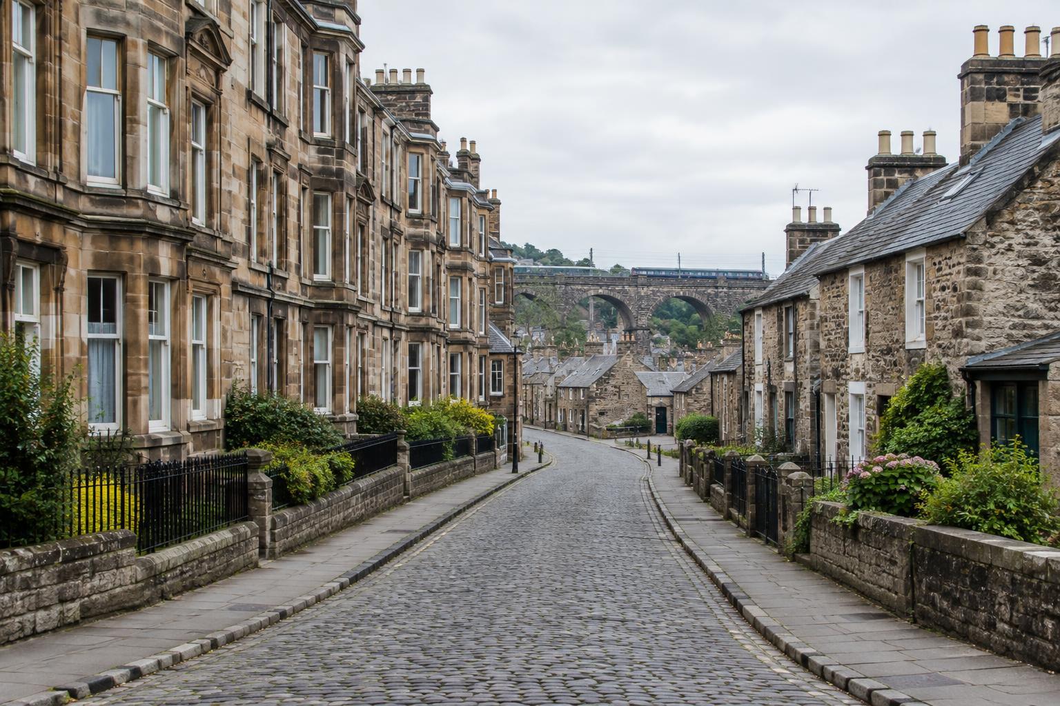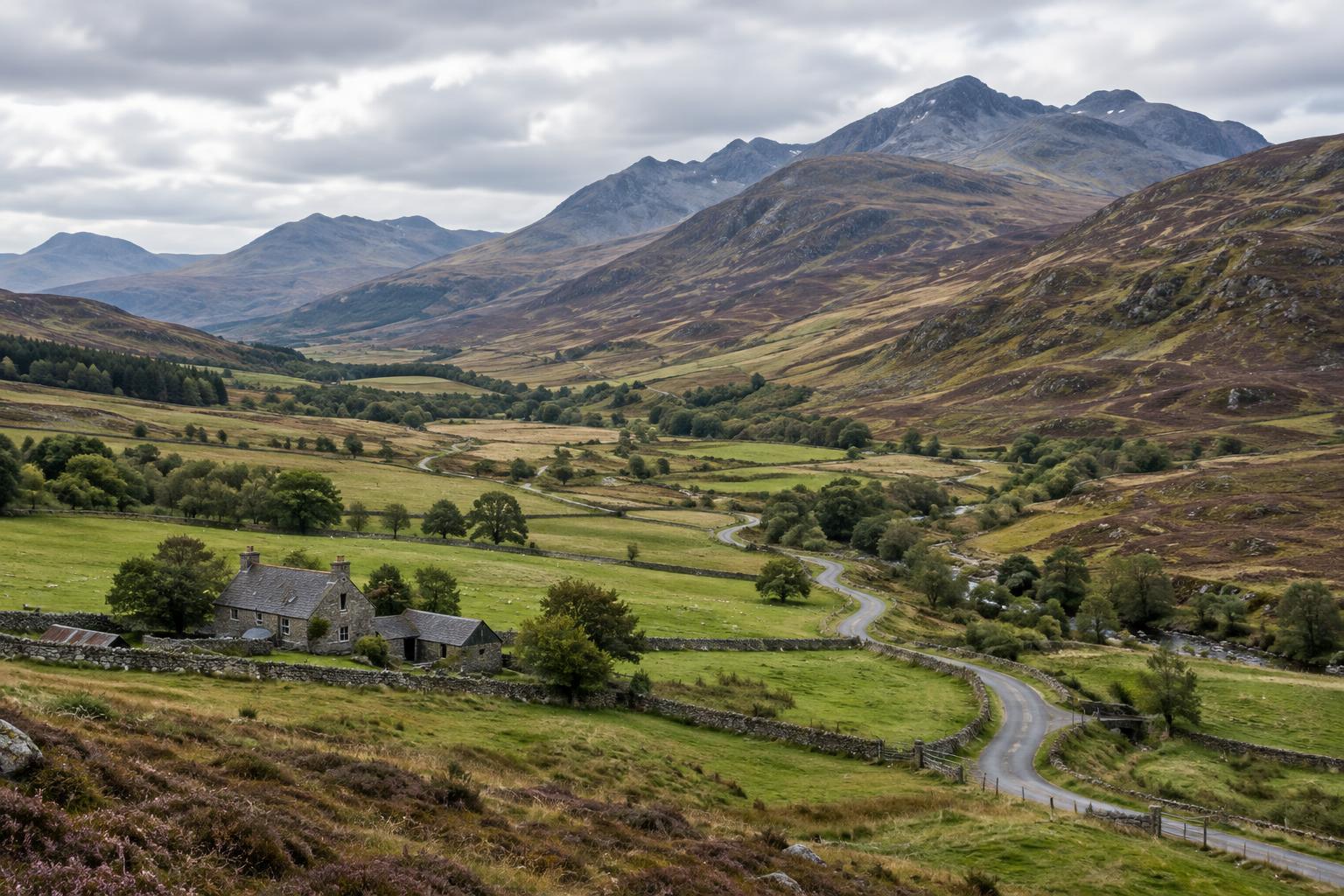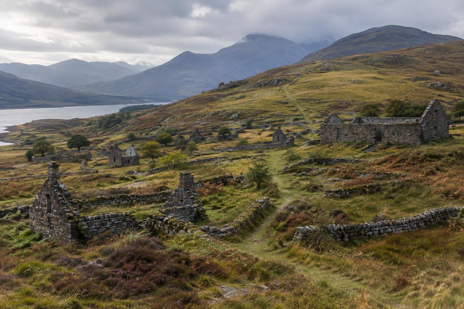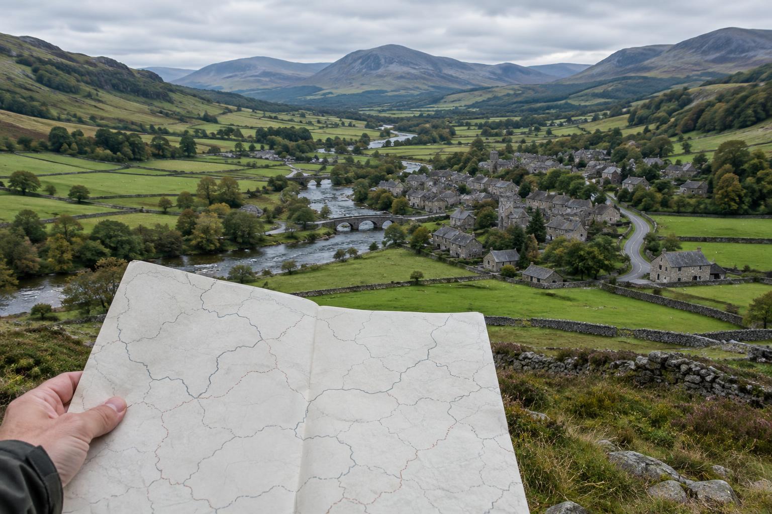
A region depends on the question you ask
Ask where a Scottish town belongs and you may get more than one correct answer. Someone might name its council area, a historic county, a nearby city or a landscape such as the Borders. Each answer describes a different relationship to place. None is necessarily the single, permanent definition of a region.
That distinction matters when exploring family history, watching a documentary or planning a heritage trip. An old record may sort places by county; a museum may describe a wider cultural area; a current service may use a council boundary. Before treating these names as interchangeable, ask what the label was meant to do, when it was used and whose perspective it represents.
Historic counties: useful, but not timeless
Historic counties remain familiar names in Scottish place descriptions and older records. Names such as Ayrshire, Perthshire and Sutherland can help locate a story and connect it to older systems of administration. They are especially useful clues when searching catalogues, maps, photographs and documents arranged according to the geography of their time.
A county name does not, however, guarantee one unchanging outline. Boundaries and administrative purposes varied over time, and the area people mean in conversation may not match the area shown on a particular map. County names can also endure long after the institutions that once used them have changed. If an archive catalogue describes an image as being from an old county, keep that wording in mind rather than silently replacing it with a modern council name. Both labels may help a reader find the place, but they answer different questions.
Council areas: the map of local government today
Scotland now has 32 council areas, used for local government. They provide a practical way to identify the authority responsible for many local services, but they are not a complete map of cultural identity. Highland Council, for example, covers a large and varied area; the everyday meaning of “the Highlands” need not stop at its boundary.
The relationship between older and newer maps can be confusing because local government has been reorganised. The regions and districts introduced in the 1970s were later replaced by the current single-tier council areas in the 1990s. As a result, a reference to a “region” in a film or document might mean a former administrative unit, a broad geographic area or simply a place as its residents understand it. The surrounding context is often more helpful than the word alone.
Local identity does not follow every boundary
People often describe where they are from at a more personal scale: an island, a glen, a town, a neighbourhood or a stretch of coast. Language, work, travel routes, shared institutions and family ties can all shape that sense of belonging. Such connections may cross an official line or divide places that appear together on a government map.
This is why regional names deserve care in visual storytelling. “The Borders,” “the Highlands” or “the west coast” can give an audience a useful starting point, but each covers many distinct communities. A film about one village cannot stand for every experience across a wider area. Equally, a regional tradition may have travelled beyond the boundary a map suggests. Specific place names and the words local contributors use can make a story more precise without denying its wider connections.
How to read a place across maps, archives and films
Start with the purpose of the source. For a present-day visit, a council area may help you find local services and collections. For an older photograph, its original county description may be the best search term. For a story about belonging, a contributor’s chosen town, island or regional name may carry more meaning than either administrative label.
It helps to record several descriptions together: the place name, its historic county where relevant, and its current council area. Check the date and key of any map before using it to interpret an earlier event. If a boundary is uncertain or a regional label has several meanings, say so plainly. In a caption or documentary narration, “near,” “in the area now administered by” or “then recorded under” can be more accurate than an unqualified label.
Scottish regional heritage is richer when these layers remain visible. Boundaries help us organise evidence, but they do not tell the whole story of how people know a place. Reading maps alongside local names, archival descriptions and lived experience makes room for both a place’s administrative history and its enduring sense of home.