What the divide helps us see
The words “Highlands” and “Lowlands” offer a quick way to orient a reader or viewer. They point toward real differences in terrain and help frame questions about travel, farming, settlement and access to markets. A steep glen, a coastal fishing town and a fertile inland plain present different possibilities to the people who live there. For anyone exploring Scotland through maps or film, the divide can be a useful first layer.
It is also a starting point for historical questions rather than an answer to them. How did a community move goods? Which languages could be heard there? Who controlled land, and how did people earn a living? Such questions become more revealing when asked about a particular place and period. The Highland–Lowland distinction gives us a broad view; local evidence supplies the detail.
A boundary cannot contain a culture
The divide is often made to carry more than geography. In familiar versions of Scotland’s past, the Highlands become a place of Gaelic speech, clans and rural tradition, while the Lowlands stand for towns, Scots speech and commerce. These associations can be relevant in some contexts, but none belongs exclusively to one side of a line. Languages, livelihoods and forms of authority changed over time and varied within regions.
The label “Highlands” itself covers markedly different places. An island community, a mainland estate and a growing town could have distinct connections to land and sea, and distinct experiences of change. Lowland Scotland was no single landscape either: its coastal settlements, industrial centres and farming districts followed different paths. Treating either region as a uniform culture makes it harder to notice what neighbouring communities shared—and where close neighbours differed.
Follow routes as well as regions
A map divided into two broad areas can suggest that history happened separately on each side. People’s lives rarely fit that pattern. Roads, drove routes, ports and later railways linked producers, workers and customers across varied terrain. Movement for employment, trade, education or family reasons also carried practices and ideas between communities. The significance of any route depended on its place and period, but looking for connections can reveal more than colouring in a regional boundary.
This approach is especially useful when considering change. A local event may have been shaped by decisions made elsewhere, while its effects were felt differently from village to village. Rather than asking whether a place was “Highland” or “Lowland” and stopping there, ask what networks reached it and who could use them. That leaves room for both regional patterns and individual experience.
What images show—and what they cannot
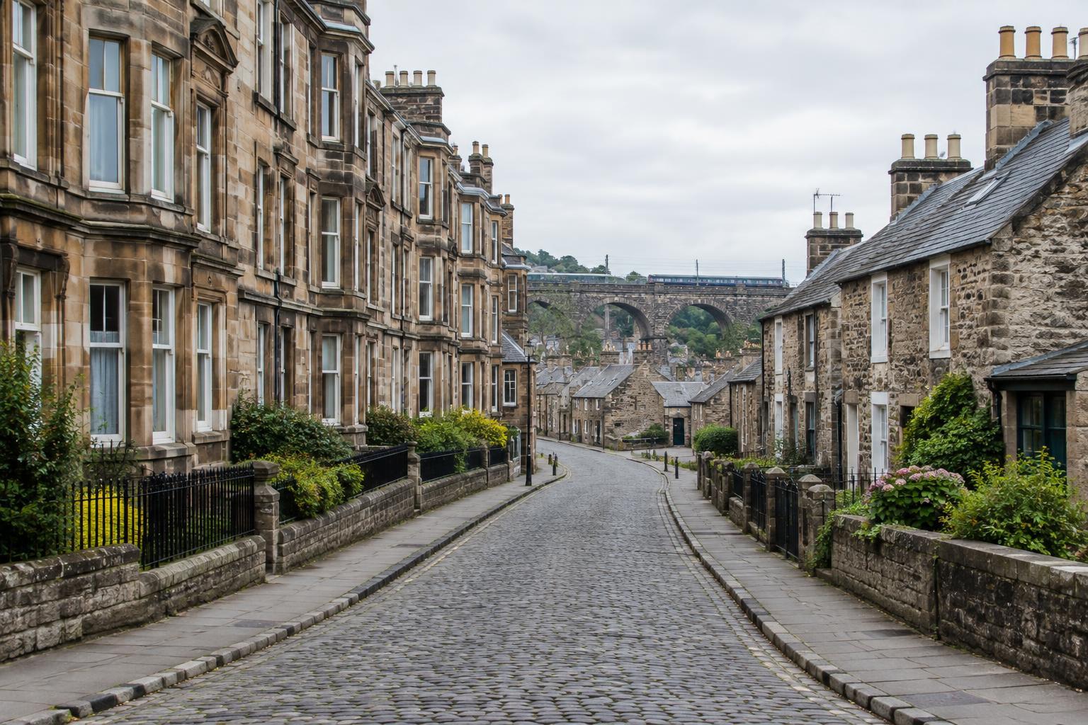
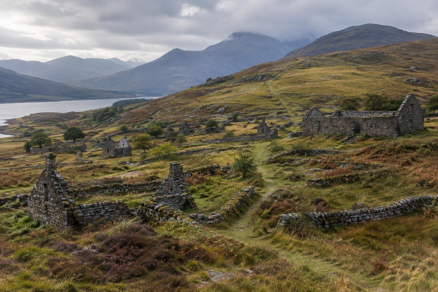
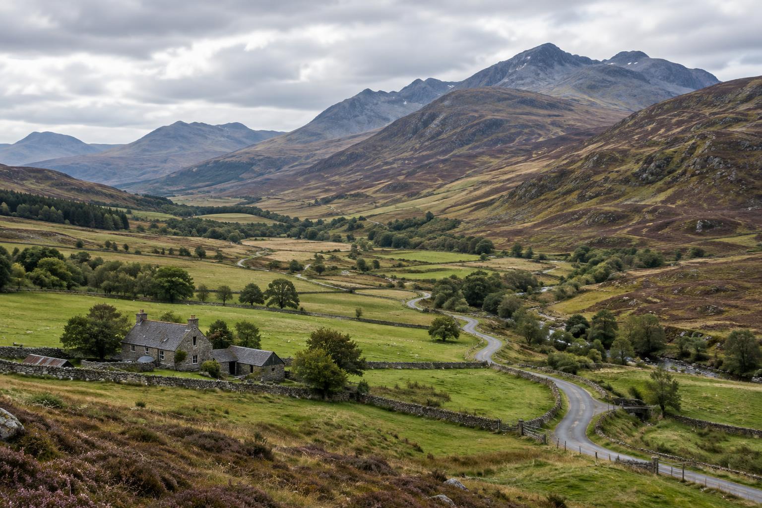
Visual storytelling can reinforce the divide almost without words. A mountain view may be used to signal an enduring Highland past; a street or factory may stand in for Lowland modernity. Such images establish setting, but they do not prove how people understood their identity or lived their daily lives. A landscape photographed long after the events in a narration needs particular care: it shows a place, not an eyewitness record of what happened there.
Photographs, maps and archive film become more informative when their limits remain visible. Where and when was an image made? Who chose the view, and what falls outside its frame? If a film uses a modern scene to evoke an earlier period, a clear caption can separate illustration from historical evidence. Placing contrasting images side by side—a rural Lowland scene, for example, or an urban Highland one—can gently challenge expectations without claiming that either image represents a whole region.
Start with a place, then widen the frame
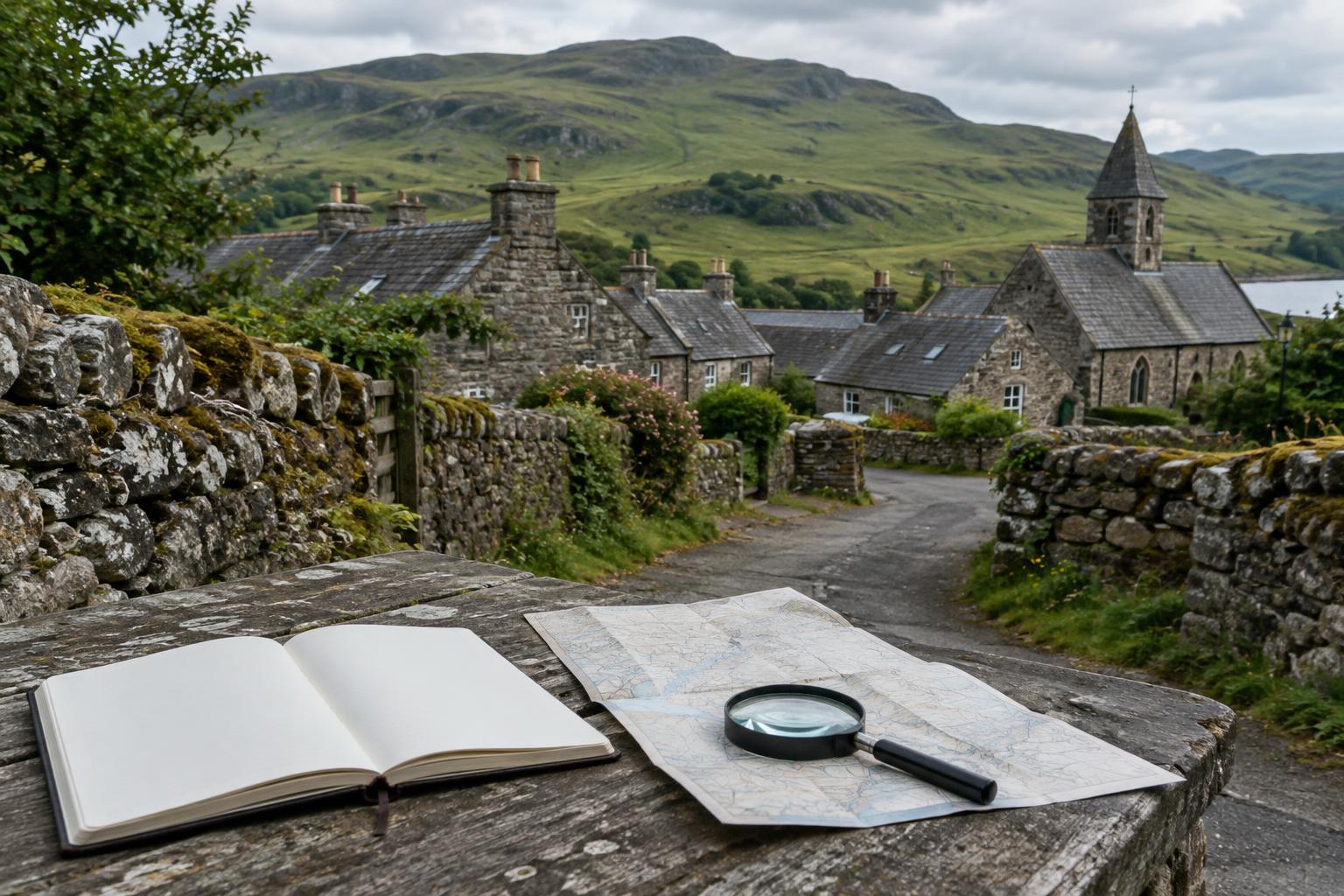
A practical way to use the divide is to begin with a named locality and a defined period. Look closely at its landscape, work, languages, institutions and connections before deciding which larger regional story helps explain it. If the Highland–Lowland distinction clarifies a pattern, use it. If it obscures an island perspective, a coastal connection or a change over time, choose a narrower or different frame.
Regional history is strongest when broad labels remain open to revision. The Highland and Lowland divide can guide a journey across Scotland’s past, but it should not decide in advance what every stop will mean. Treat it as one map among several, and the people and places within it come into sharper focus.