Start with the shape of the land
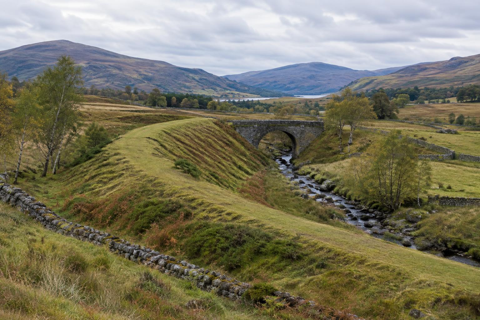
A former railway is often easier to see as a line through the landscape than as a collection of surviving buildings. Tracks and sleepers may have disappeared, but an engineered route can leave a level shelf across a hillside, a raised embankment over low ground or a cutting between banks of earth. Curves tend to be broad rather than abrupt. From a distance, a succession of these shapes may reveal a route that is hard to recognise while standing on it.
Look for relationships between features, not one feature in isolation. A straight track could be a farm road, and a mound could have many origins. A level approach to a bridge, followed by a cutting on the other side, makes a stronger case for a railway. Even then, it is worth treating the route as a possibility until a map or other record helps confirm it.
Notice where the line had to cross and stop
Crossings are useful clues because they required substantial work. An old bridge or its remaining abutments may show where a line passed over a burn, road or field entrance. Elsewhere, a road bridge may still span an empty cutting. Stonework, changes in ground level and unusually wide gaps in boundary walls can help explain how the route fitted into an older pattern of fields and paths. Observe these structures from safe, accessible places; apparently solid masonry can be unstable.
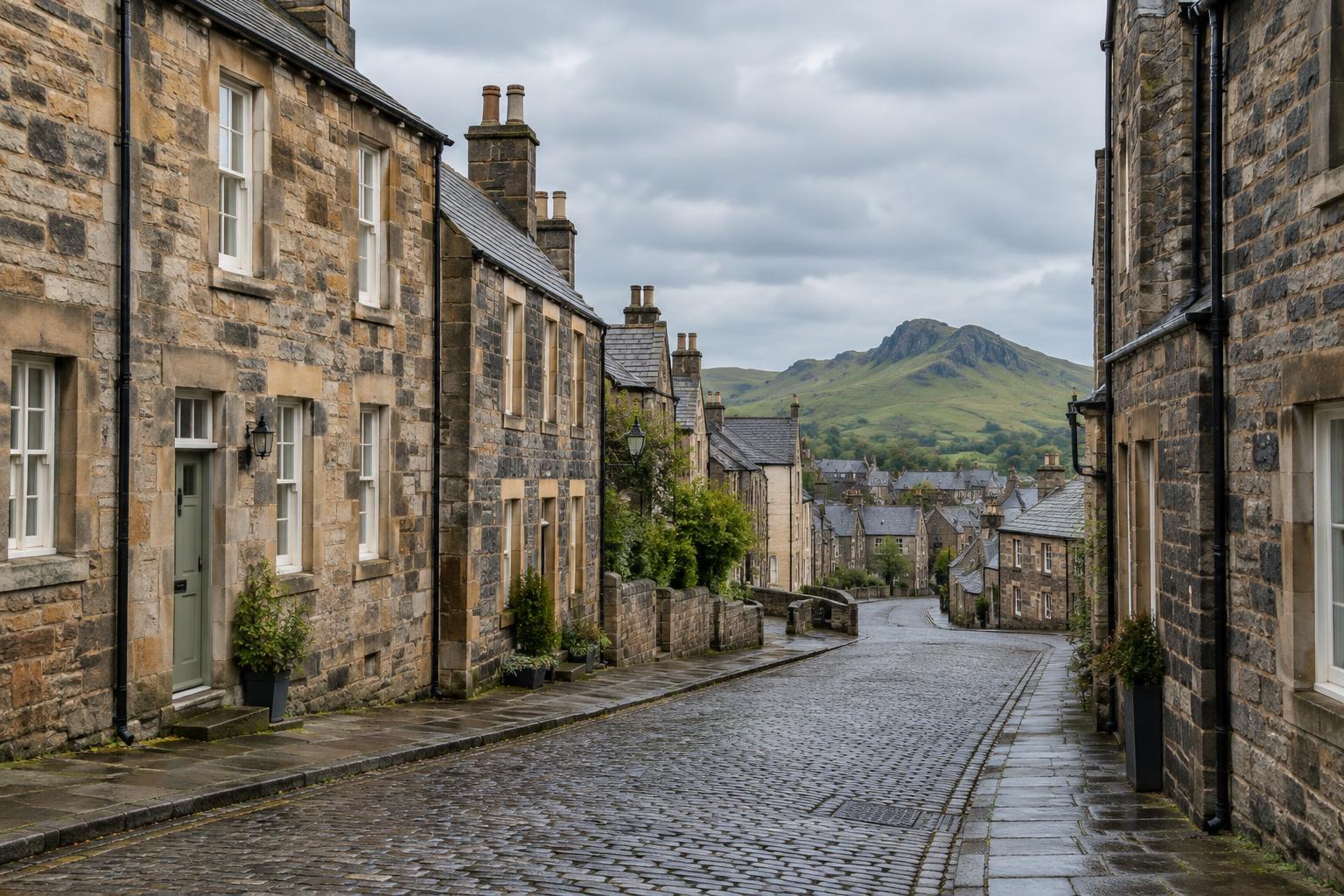
Stations and goods facilities can leave less obvious traces. A broad, level area near a village may once have accommodated platforms, sidings or a yard, while a surviving building may have acquired an entirely different use. Its present appearance does not necessarily explain its original purpose. Comparing the site with a dated map can help distinguish a railway feature from a later alteration and can show how closely the line served the settlement.
Use maps and images as questions, not final answers
Historic maps are a valuable starting point for following a route through rural Scotland. Compare maps from different periods with a modern map to see where a line appeared, where it crossed roads and whether later development has obscured it. Pay attention to each map’s date and scale: a small-scale map may simplify a junction, while a later edition may show a changed layout. A mapped line also tells you what a survey recorded, not necessarily what survives on the ground today.
Photographs, postcards and local accounts can add the human detail that a map lacks. They may show how people reached a station, how a railway sat beside a village street or how a bridge looked before its surroundings changed. Check captions and provenance where possible, and separate what an image visibly shows from what you infer. An unidentified railway photograph should not be presented as evidence for a particular Scottish location merely because its scenery looks familiar.
Read the railway as part of local life
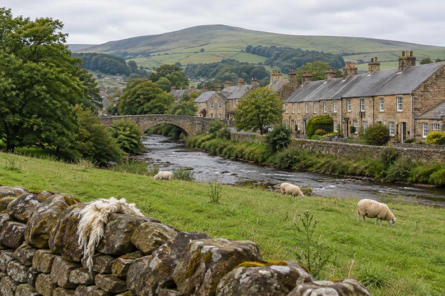
A rural line was more than a way of moving trains. Its alignment can suggest which places it was built to connect and which obstacles shaped the journey between them. A station set some distance from a village might have required a connecting road or a longer walk than the name on a map implies. A former goods yard can prompt questions about local trade, farming and deliveries, though the surviving ground alone cannot tell the full story of what was carried.
Railway traces also reveal change after closure. Some routes became paths or farm access tracks; others returned to fields or were interrupted by newer roads and buildings. A walk along one surviving stretch may therefore create a misleading impression of continuity. Following the line across several kinds of landscape, and noting where it vanishes, gives a fuller picture of how communities have reused, adapted or simply lived around the old corridor.
Explore and record with care
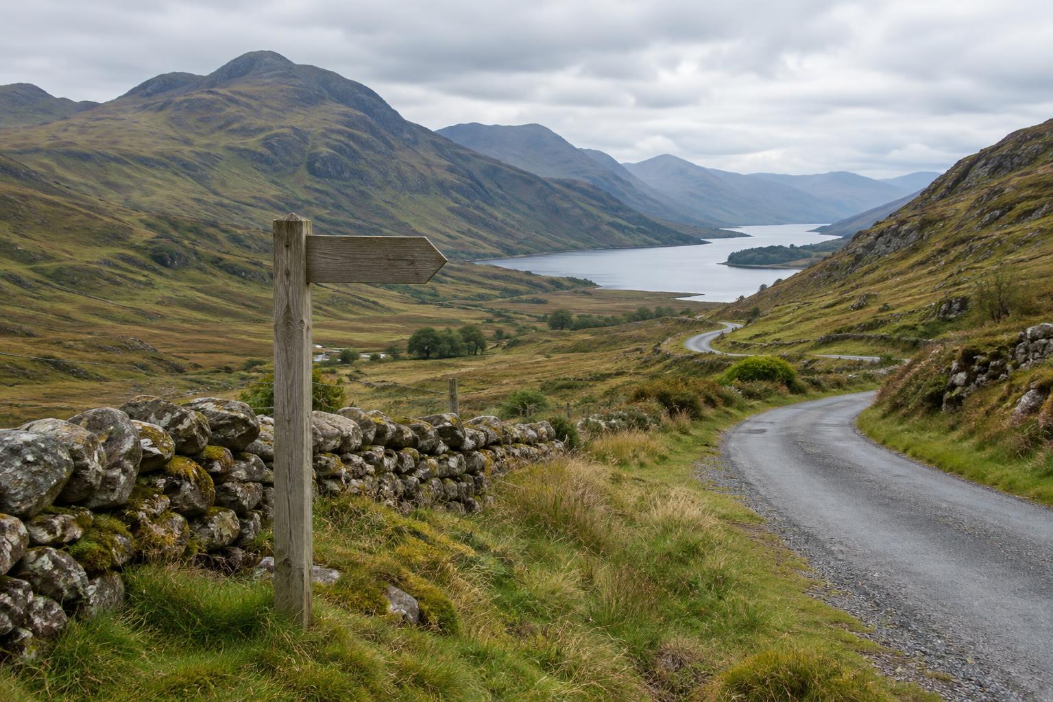
Plan a visit using current access information rather than assuming that a line marked on an old map is walkable. Former trackbeds may cross working farmland, private gardens, active roads or difficult terrain. Follow local access guidance, respect crops and livestock, and avoid tunnels, damaged bridges and steep cuttings. A viewpoint from a public path can often reveal the railway’s shape better than a close-up taken from the route itself.
For a visual record, make a few wide photographs before concentrating on details. Show how an embankment meets a bridge or how a cutting approaches a settlement, then record smaller clues such as masonry or boundary changes. Note where each image was taken and which interpretation remains uncertain. That combination of landscape view, careful observation and honest captioning can tell a richer story than a photograph of an isolated ruin.