Start with the pattern, not a single ruin
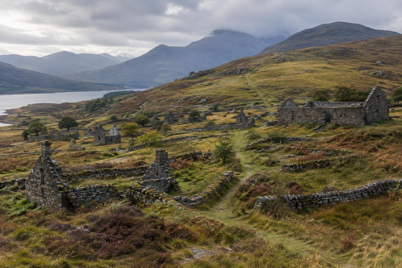
A low wall, a roofless building and a track fading into grass can make a Highland township seem easy to read: here were the homes, there were the fields, and beyond lay open grazing. In practice, the visible landscape may contain traces from several phases of occupation. Buildings were altered, field boundaries moved, and later farming or forestry could obscure earlier arrangements. The most useful first question is not “What was this ruin?” but “How do these features relate to one another?”
Look for the position of buildings in relation to workable ground, water, routes and shelter. A group of structures may suggest a place where households lived and worked close together, while enclosures and paths show how people moved between houses, fields and wider land. Such patterns offer clues, not a complete plan. A wall that appears to enclose one holding today might have been rebuilt or repurposed long after a nearby building fell out of use.
Crofts and the changing shape of a holding
The word “croft” commonly describes a small agricultural holding associated with a home and, often, access to grazing beyond its cultivated ground. It is a helpful term for many Highland landscapes, but it should not be applied automatically to every older settlement. A township may have passed through different systems of landholding, and the neat divisions visible on the ground may belong to a later phase than the oldest building remains.
Boundaries can nevertheless show how land was organised. A stone dyke might separate cultivated ground from rougher pasture, while smaller enclosures could have helped protect crops or manage animals. Consider the shape and connections of each boundary rather than treating every line as a property edge. When making a photograph or film, a wide view can be more informative than a close-up of masonry: it lets viewers see how a building, its possible working ground and the surrounding slope fit together.
What a steading can—and cannot—tell us
A steading is a group of farm buildings used for work such as housing animals or storing produce and equipment. Its doors, yards and relationship to nearby fields may suggest how agricultural work was arranged. A broad entrance might have accommodated animals or carts, for example, but an opening alone rarely proves a building’s original use. Roofs, internal fittings and timberwork may have disappeared, taking important evidence with them.
It is also worth asking whether a steading and nearby dwellings were used at the same time. Buildings that look like a coherent scene from a distance may represent successive adaptations. One structure may have been extended as farming needs changed; another may have been built from reused stone. A careful account distinguishes what is visible—a blocked doorway or an added wall—from the interpretation that follows. This makes the story more compelling, not less: change is part of the township’s history.
Shared land lies beyond the walls
The space outside cultivated plots was not necessarily unused or unclaimed. Depending on place and period, township households could have access to common grazing and other shared resources, managed through local customs and arrangements. Animals, fuel gathering and seasonal movement all shaped daily life, even where they left few durable structures. The absence of a building is therefore not the absence of a story.
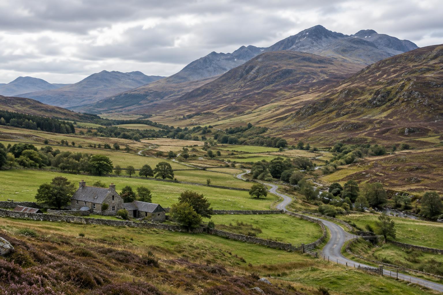
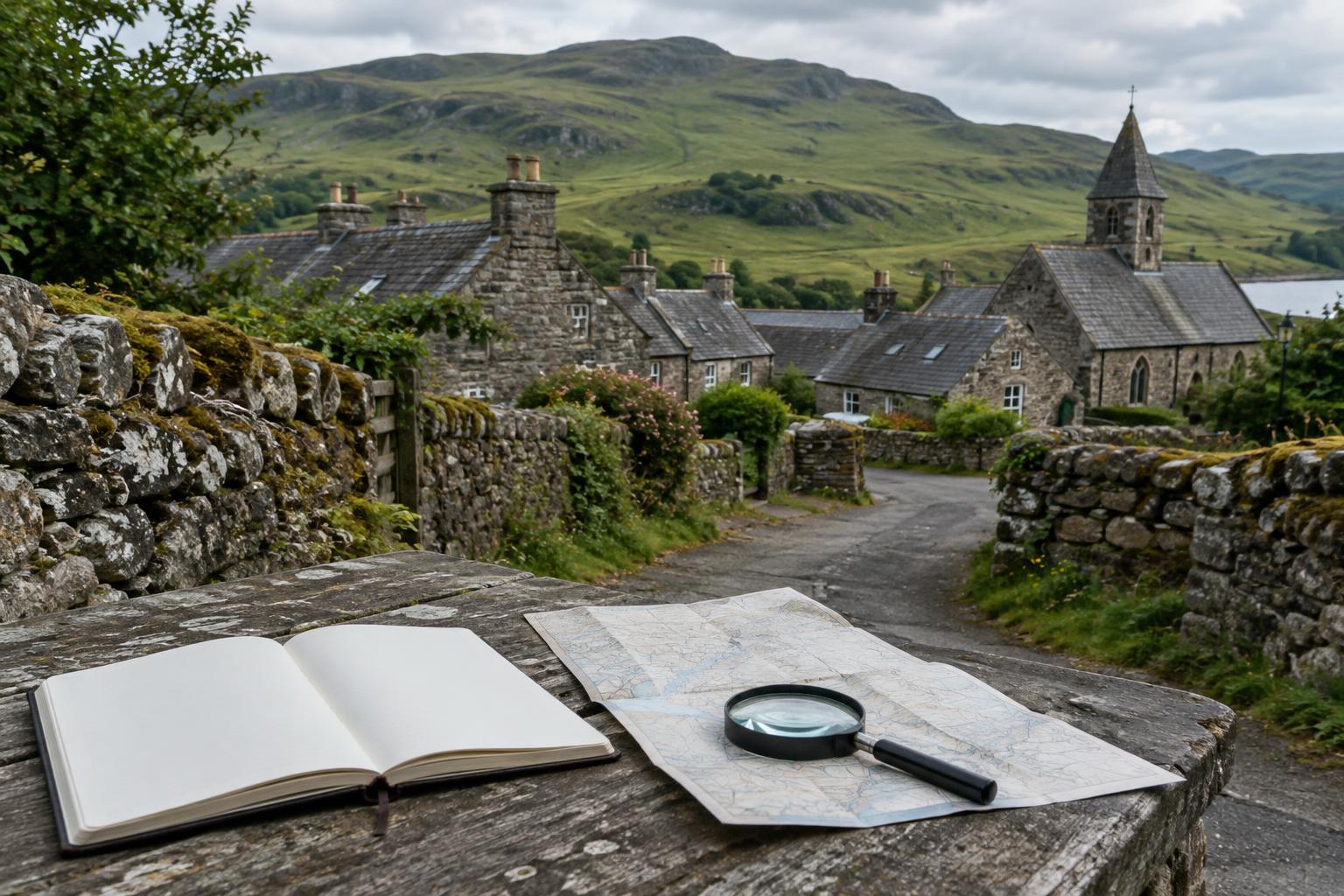
Paths leading uphill, gates in boundary walls and the transition from improved ground to rough pasture can help a visitor picture connections between a settlement and its wider landscape. Yet the precise rights attached to that land cannot usually be inferred from a path or wall alone. To understand a particular township, compare what can be seen with reliable maps, records or locally documented histories where these are available. Treat both the landscape and the written record as partial evidence.
Tell the story without flattening it
Highland ruins are sometimes presented only as symbols of loss. Displacement and profound changes to land use are essential parts of many local histories, but a roofless township should not be assigned a single cause of abandonment without supporting evidence. People may have occupied, altered and left buildings at different times and for different reasons. A responsible visual story can acknowledge difficult history while leaving room for the particular lives and work once associated with a place.
If visiting, use established access routes where possible, respect signs and current land use, and avoid moving stones or entering unstable structures. For an article, caption or film, separate observation from inference: “a track connects the buildings to higher ground” is different from “this was the route taken to summer grazing.” That distinction helps viewers read the township as a layered, lived landscape rather than a collection of picturesque ruins.