What does “planned” mean?
A planned village is a settlement laid out according to an identifiable scheme, often by an estate owner or another party with control over the land. A design might set out plots, streets, a market space or places for workshops. The aim could be to attract workers, support trade or reorganise rural life. In Scotland, planning took different forms in different regions; it did not produce one standard village.
An older settlement may have grown through many smaller decisions. Buildings could cluster around a harbour, a crossing, a church or workable land. Paths became streets as people used them, while later generations extended, replaced or divided buildings. Yet the distinction is not absolute. Older places could acquire planned additions, and planned villages changed as soon as people began to live and work in them.
Start with the shape of the place
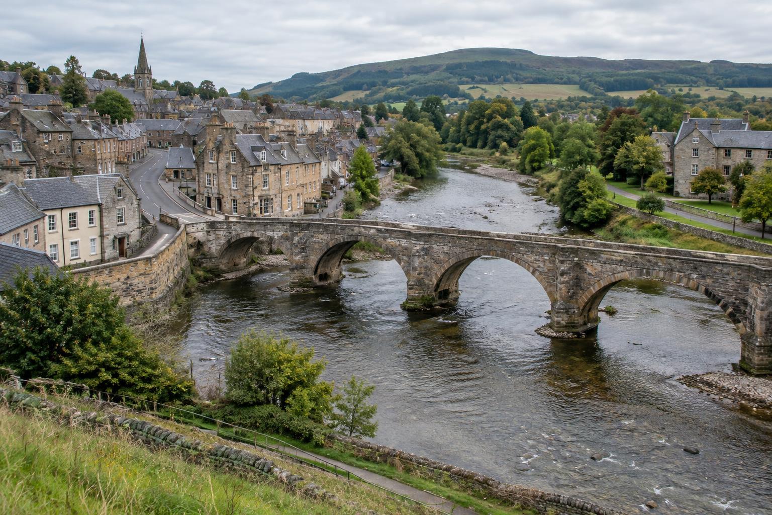
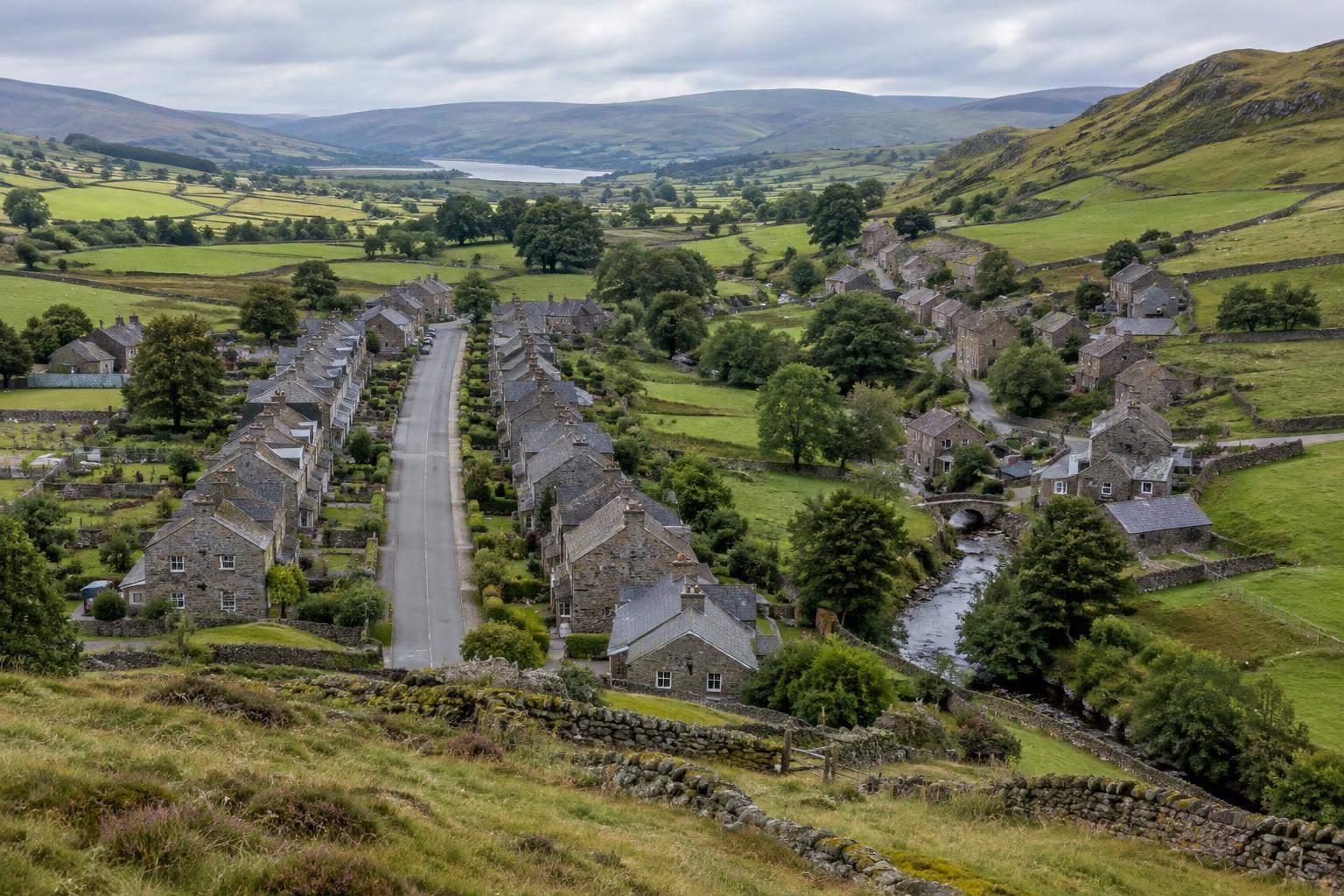
From a viewpoint or a map, look at how routes meet. A broad main street and regularly spaced plots may suggest a deliberate layout. A network of lanes following a slope or shoreline may point to growth around local conditions. Neither pattern proves an origin on its own: a straight road can be a later improvement, while a planned scheme may bend to fit a river or hillside.
On the ground, notice the relationship between houses and shared space. Are frontages aligned? Do gardens or former work plots run back from the street? Where are the church, school, harbour or mill in relation to homes? Buildings may have changed substantially, so it helps to read the spaces between them as well as their façades. A wall, lane or surviving plot boundary can offer a clue even where the original building has gone.
Work and geography shaped different regions
A comparison becomes more useful when it accounts for what people did there. A fishing settlement needed access to landing places and room for the practical tasks associated with boats and catches. An agricultural village might relate closely to fields, estate buildings and roads to nearby markets. In industrial places such as New Lanark, the connection between housing, workplaces and water power is central to understanding the layout.
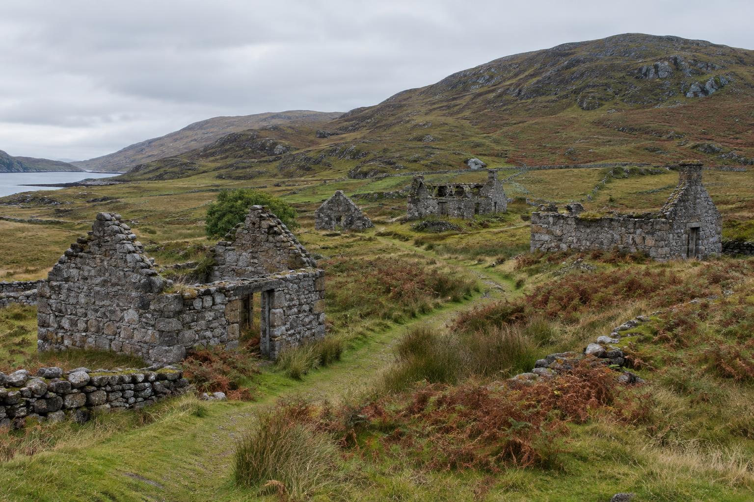
Regional labels alone cannot explain these forms. A coastal village could be deliberately laid out, and an inland settlement could have developed gradually. In Highland and island landscapes, dispersed homes and land-use patterns may be as important as a compact street. Changes to settlement in these areas also involve difficult histories of land ownership and displacement. A neat visual contrast between “planned” and “organic” should not obscure the people affected by those changes.
Look for layers, not a perfect original
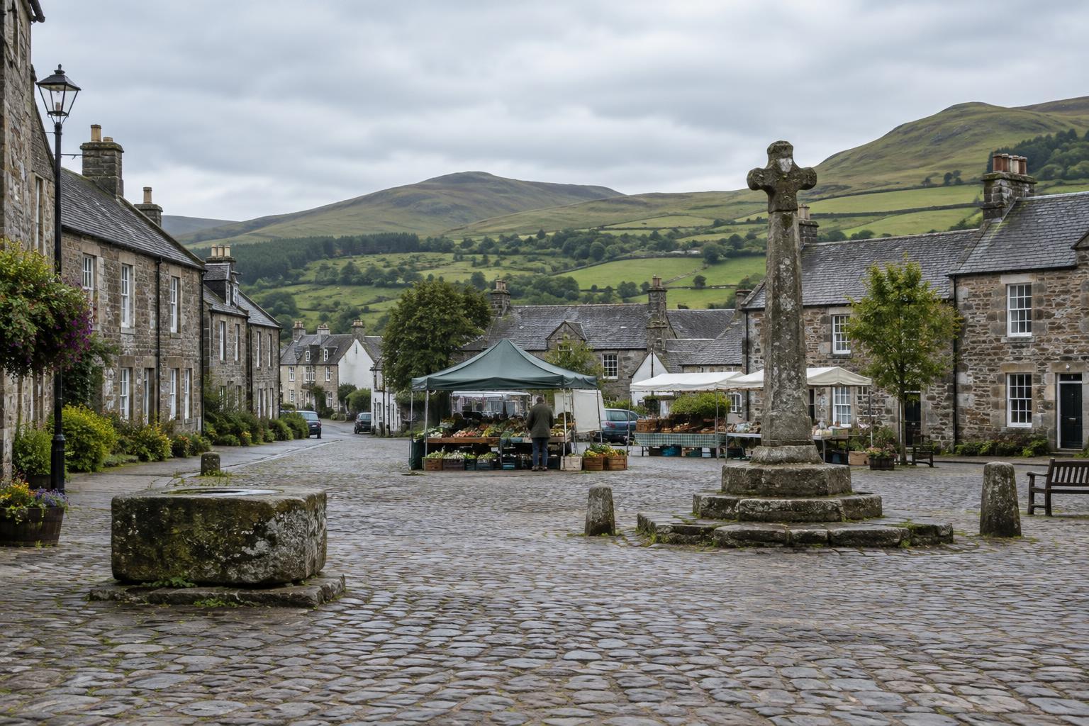
Grantown-on-Spey offers a useful example of a planned village associated with an estate initiative. Its layout can prompt questions about who provided land, how streets were arranged and what kinds of activity the village was intended to support. But a visit today shows the result of continuing use, not a frozen plan. Shops, homes, roads and public spaces all respond to later needs.
The same principle applies to a settlement with much older roots. A historic centre may contain rebuilt houses, widened streets or newer facilities beside long-used routes. When comparing two places, ask the same questions of each: What seems to have guided its layout? What work sustained it? Which features appear to belong to later phases? Where does the available evidence leave room for doubt? These questions are more revealing than treating one place as orderly and the other as picturesque.
Turning a comparison into a visual story
For a photo essay or short film, begin with views that establish the setting: the coastline, valley, farmland or approach road. Then move closer to street widths, plot boundaries, building entrances and routes to places of work. Showing the same kinds of details in both settlements helps viewers make a comparison without assuming that visual resemblance means identical history.
Captions and narration should separate observation from interpretation. “The houses face a broad street” describes something visible; explaining why they face it may require further evidence. Historic maps, local collections and interpretation on site can help test an idea, provided their origins and limitations are made clear. The strongest story is rarely a simple before-and-after account. It shows how an initial layout, local geography and generations of residents have all left marks on the place.