A crossing is more than a point on a map
A river can connect places as readily as it divides them. It offers a route through a valley and access to water, but it can also interrupt a road. Where people could cross with relative ease, journeys converged. Travellers might need food, a place to stay, a market or help moving goods onward. These everyday needs could give a settlement a reason to grow.
A crossing alone, however, did not guarantee a prosperous town. Its importance depended on the roads leading to it, the land available nearby and the people who maintained or controlled it. Routes could change as new bridges were built or older ones became difficult to use. To understand a Scottish settlement, it helps to look at the whole network rather than treating the river as its single cause.
Fords and ferries set the pace of travel
Before a permanent bridge was available, a shallow stretch of river might serve as a ford. Its usefulness could vary with the weather and the condition of the riverbed. A route that seemed straightforward in settled conditions might become awkward or unsafe after heavy rain. Waiting, choosing another crossing or breaking a journey nearby could all affect activity on either bank.
Ferries offered another way across, especially where a river was too deep or broad to ford conveniently. A ferry landing needed paths or roads to reach it, while passengers and goods needed somewhere to gather. Such places could support inns, workshops or small groups of buildings, although their scale varied. A landing was also vulnerable to change: a replacement bridge might draw traffic away, leaving the former approach as a quiet lane or place name.
Bridges brought routes and streets together
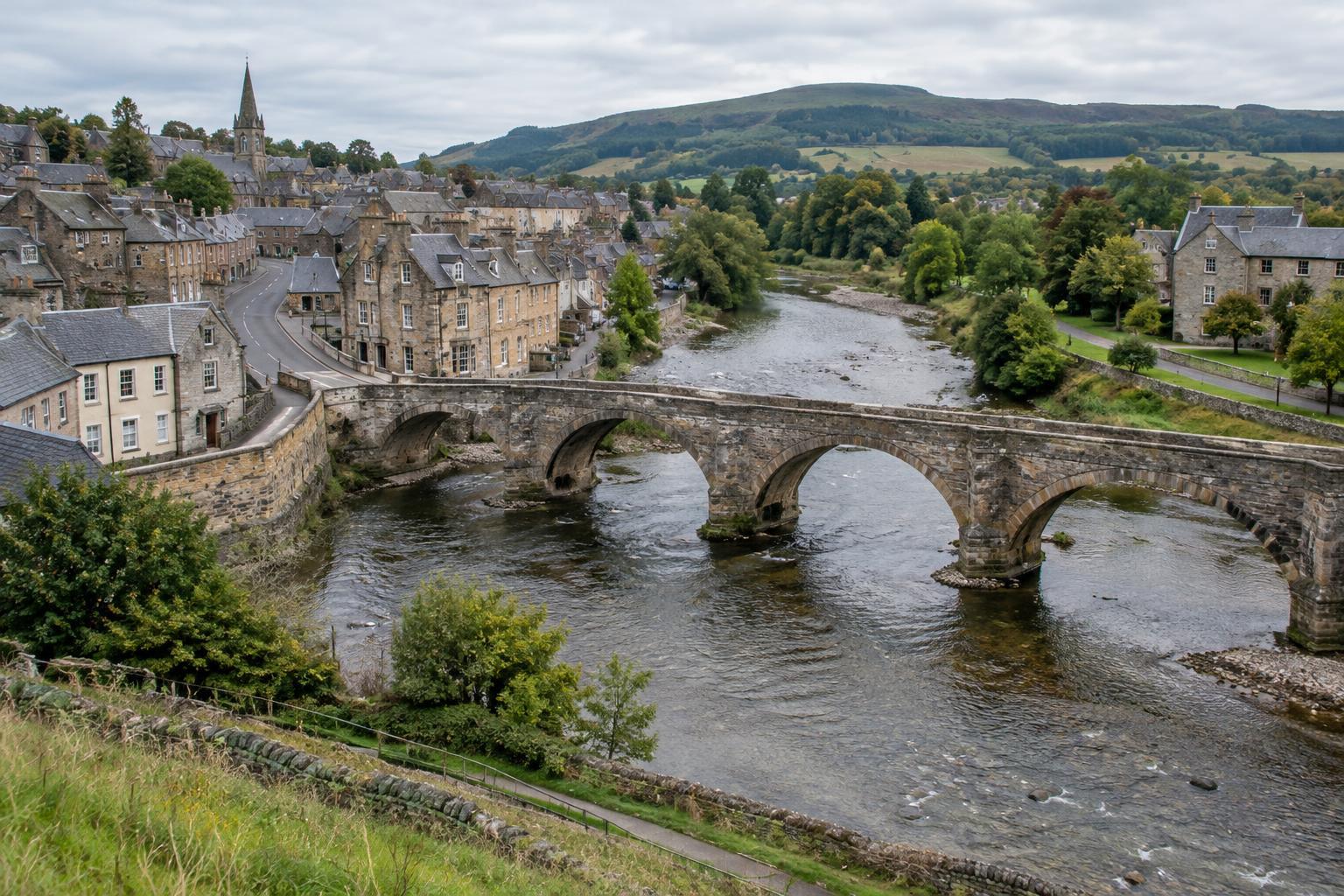
A reliable bridge made a crossing less dependent on river conditions and could strengthen the road on either side. Traffic heading for its entrances often followed a limited number of approaches. Over time, those approaches could become prominent streets, with shops and meeting places positioned to serve passing people. Where routes from several directions met, a bridge could help make a town a regional focus.
The relationship also worked in reverse. A crossing might receive investment because a settlement, market or strategic route was already important. Stirling illustrates how a crossing of the River Forth could matter within a wider landscape of routes and power. Its history cannot be explained by the bridge alone: the surrounding terrain and the connections beyond the river are part of the story. Asking why a bridge was built, repaired or replaced is often as revealing as locating it.
The two banks did not always grow alike
A crossing linked riverbanks, but it did not make them identical. One side might offer higher, drier ground suitable for building; the other might provide room for a road, fields or later expansion. Local patterns of landholding and trade could influence which bank became the main centre and which served a different purpose. A bridge could gradually change that balance by making movement between the two easier.
Rivers also shaped what a settlement could not do. Flood-prone ground might remain open, while steep banks restricted the approaches to a crossing. Where a river changed course or a bridge was moved, streets could retain the shape of an older route even after its purpose had faded. These irregularities are useful reminders that a town plan is the result of many decisions made over time, not a single design.
Reading the crossing in today’s landscape
To explore this history on foot, begin with the river and look in both directions. Notice where roads meet the banks, whether they descend toward an older landing, and how directly the streets on opposite sides line up. A narrow lane leading to the water may suggest a former approach, but it is not proof on its own. The age of nearby buildings may differ greatly from the age of the route they follow.
Historic maps, local collections and views of bridges from different periods can help test an impression formed on the ground. Compare them carefully: maps may show different levels of detail, and a photograph records only one moment. For a film or visual essay, following a journey toward the crossing can make the geography clear. The river, the approach and the activity on each bank together tell a richer story than a shot of the bridge alone.