A coalfield written into the landscape
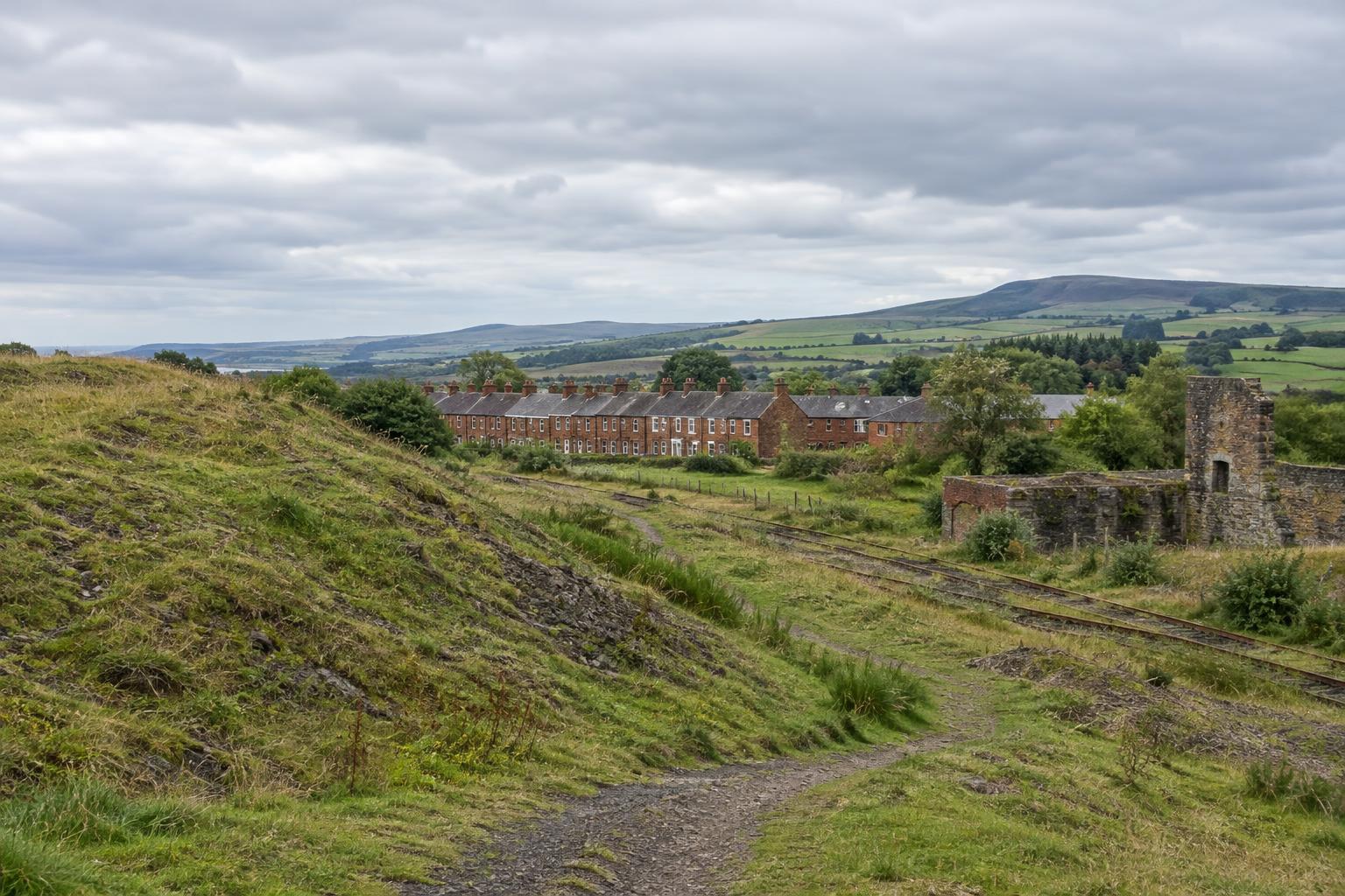
Ayrshire’s coalfield heritage is not confined to a surviving pit building or a museum display. It can be read across towns, villages and stretches of open ground, particularly in parts of East Ayrshire where mining helped shape patterns of settlement and work. Former railway routes, altered slopes, rows of housing and place names may each carry part of the story. None tells it completely on its own.
Coal was won in different ways and at different times. Underground pits and later surface workings could leave very different marks on the land. A level field may once have been an industrial site; a raised bank may be spoil, a railway formation or a more recent alteration. Reading the landscape therefore begins with a question rather than a declaration: what happened here, and what evidence would help establish it?
The pit was more than a shaft
A working pit depended on an arrangement of structures and routes. Shafts or entrances connected workers to the coal; winding equipment, workshops and coal-handling areas supported the work above ground. Lines of rail and roads carried materials in and coal out. Even where the buildings have disappeared, the relationship between a former pit site, a transport corridor and nearby housing can help explain why a settlement developed where it did.
The pit also organised daily time. Shifts shaped when streets filled, when meals were prepared and when families waited for people to return. Mining brought dangerous conditions, but a place’s history should not be reduced to danger alone. Skill, routine, cooperation and disputes over work all belonged to coalfield life. Family memories can illuminate that experience, although no single account can stand for every worker or generation.
When interpreting a former pit, it is worth distinguishing what can be seen from what must be learned elsewhere. A surviving wall can show where a structure stood, but it cannot, by itself, explain how that structure was used or who worked there. Maps, photographs, local collections and recorded memories can add context, provided their dates and locations are checked.
Housing and the life between shifts
Workers’ housing is central to coalfield heritage because mining was lived at home as well as at work. Rows of houses, later estates and changing village centres reflect different periods of building and different ideas about how families should live. Their appearance today may differ greatly from their original form: homes have been extended, improved, replaced or given new uses. An attractive street scene can still conceal a history of cramped conditions or limited facilities.
A useful way to read a mining community is to look beyond the houses themselves. Schools, shops, places of worship, clubs and meeting spaces helped sustain social life. Walking routes connected homes to pits and neighbouring settlements. These connections mattered to people whose lives did not take place underground, including those who cared for households, ran businesses or took part in community organisations.
Care is needed with labels. Not every house in a coalfield village was built for miners, and not every resident worked in coal. Describing a whole community as a “mining village” may be useful shorthand, but its history is usually broader. Asking when housing was built, who provided it and how it changed makes room for that complexity.
What reclaimed ground can—and cannot—show
Some former workings have been cleared, reshaped or planted. Reclamation can make land safer and more useful, creating space for paths, habitats or new development. It can also remove familiar landmarks. A visitor encountering grassland on a former industrial site might see a welcome recovery without realising how much ground has been moved or how recently its present shape was made.
This is not a choice between praising renewal and mourning what has gone. Both responses may be part of a place’s story. Reclaimed land can speak to changing employment, environmental repair and decisions about what to preserve. A path following an old railway alignment, for example, may retain a connection to coal transport even when the tracks and pit are gone.
Former industrial ground also deserves practical caution. Its appearance is not proof that every area is suitable for access. Visitors should use established routes, respect signs and boundaries, and avoid entering structures or workings. For a film or photo essay, publicly accessible viewpoints can often show the relationship between a settlement and its surrounding landscape more clearly than a close-up of an unsafe remnant.
Telling the story without making the past stand still
Visual storytelling can connect the layers of an Ayrshire coalfield place: a broad view of reclaimed ground, a former route through a village, and details of housing that remains in use. The sequence matters. Beginning with a quiet landscape and only later revealing its industrial history invites viewers to reconsider what they first assumed they were seeing.
Images also need careful captions. A photograph of a miner, a pit or a row of houses should not be used as an illustration of a specific Ayrshire site unless its identification is supported. Where an image is representative rather than local, say so. Similarly, an unverified story can be presented as a memory or lead for further inquiry, not as settled fact.
The most enduring account holds change in view. Ayrshire’s coalfields were places of work, home and community; many are now places where those histories must be traced through fragments. Looking at pits, housing and reclaimed ground together makes the fragments more legible, while leaving space for the people who live in these landscapes today.